
Optimise land use – Schlettwein
ELLANIE SMIT
WINDHOEK
Namibia must make the most of its scarce resources and develop modern and appropriate tools to enable sustainable development.
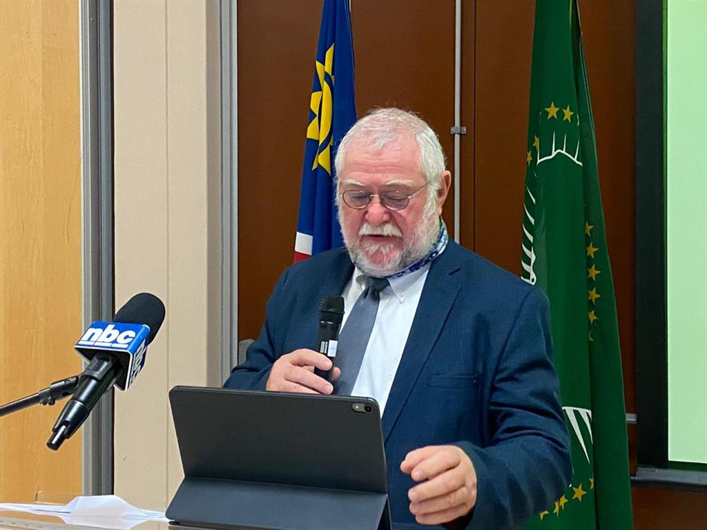
This was said by agriculture minister Calle Schlettwein at a workshop on agro-ecological zones and carrying capacity maps.
He explained that agro-ecological zoning (AEZ) defines zones on the basis of soil, landform and climatic characteristics.
Each zone has a combination of constraints and potentials for land use, and serves as a focus for the targeting of recommendations designed to improve the existing land-use situation.
The purpose of zoning is therefore to separate areas with similar sets of potentials and constraints.
“It is a tool with which we can optimise land-use options,” the minister said.
Schlettwein said livestock farming is one of the most important agricultural land uses in Namibia, hence the inclusion of carrying capacity maps.
He explained that a carrying capacity map is a tool that can be used to estimate the number of livestock that a given area of land can carry over a given period of time, normally 12 months.
He said the development of agro-ecological zones and carrying capacity maps would enable the government to provide appropriate, area-specific agricultural advice.
Regulation
It would further allow the drafting of laws or guidelines to minimise environmental damage, apply a well-informed land tax regime and determine with certainty the viability of economic farming units.
Schlettwein added that the ministry is also tasked with the development of integrated regional land use plans.
The final stage of the development of agro-ecological zones and carrying capacity maps will be a closing workshop where a final presentation of the results of the project will be made.
Training will then be provided to agriculture ministry staff on the operation of the AEZ database and geographic information system model.
WINDHOEK
Namibia must make the most of its scarce resources and develop modern and appropriate tools to enable sustainable development.
This was said by agriculture minister Calle Schlettwein at a workshop on agro-ecological zones and carrying capacity maps.
He explained that agro-ecological zoning (AEZ) defines zones on the basis of soil, landform and climatic characteristics.
Each zone has a combination of constraints and potentials for land use, and serves as a focus for the targeting of recommendations designed to improve the existing land-use situation.
The purpose of zoning is therefore to separate areas with similar sets of potentials and constraints.
“It is a tool with which we can optimise land-use options,” the minister said.
Schlettwein said livestock farming is one of the most important agricultural land uses in Namibia, hence the inclusion of carrying capacity maps.
He explained that a carrying capacity map is a tool that can be used to estimate the number of livestock that a given area of land can carry over a given period of time, normally 12 months.
He said the development of agro-ecological zones and carrying capacity maps would enable the government to provide appropriate, area-specific agricultural advice.
Regulation
It would further allow the drafting of laws or guidelines to minimise environmental damage, apply a well-informed land tax regime and determine with certainty the viability of economic farming units.
Schlettwein added that the ministry is also tasked with the development of integrated regional land use plans.
The final stage of the development of agro-ecological zones and carrying capacity maps will be a closing workshop where a final presentation of the results of the project will be made.
Training will then be provided to agriculture ministry staff on the operation of the AEZ database and geographic information system model.

Comments
Namibian Sun
No comments have been left on this article